FOCUS ON THE BACKROADS: BACKROAD ANGELS
An Angel is defined in the dictionary as “a spiritual being believed to act as an attendant, agent, or messenger of God” Through out the …
An Angel is defined in the dictionary as “a spiritual being believed to act as an attendant, agent, or messenger of God” Through out the …
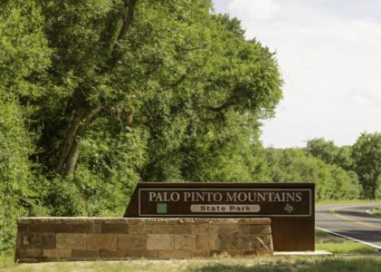
Sometimes the best places are not found on the interstate—they are waiting just beyond it, down a quiet stretch of backroad where the scenery makes …
The United States Army established Fort Richardson in 1867 near present-day Jacksboro, Texas. Active from 1867 to 1878, the fort was named in honor of Union General …
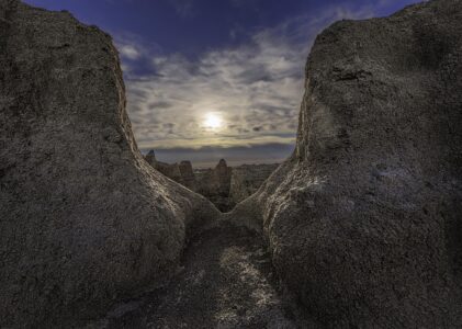
Located in southwestern South Dakota, Badlands National Park stretches across 242,756 acres of rugged beauty made up of sharply eroded buttes, pinnacles, and deep canyons. The park is also home …
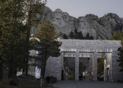
Located in the rugged beauty of the Black Hills of South Dakota, Mount Rushmore stands as one of America’s most recognizable landmarks. 60-foot sculptures of …