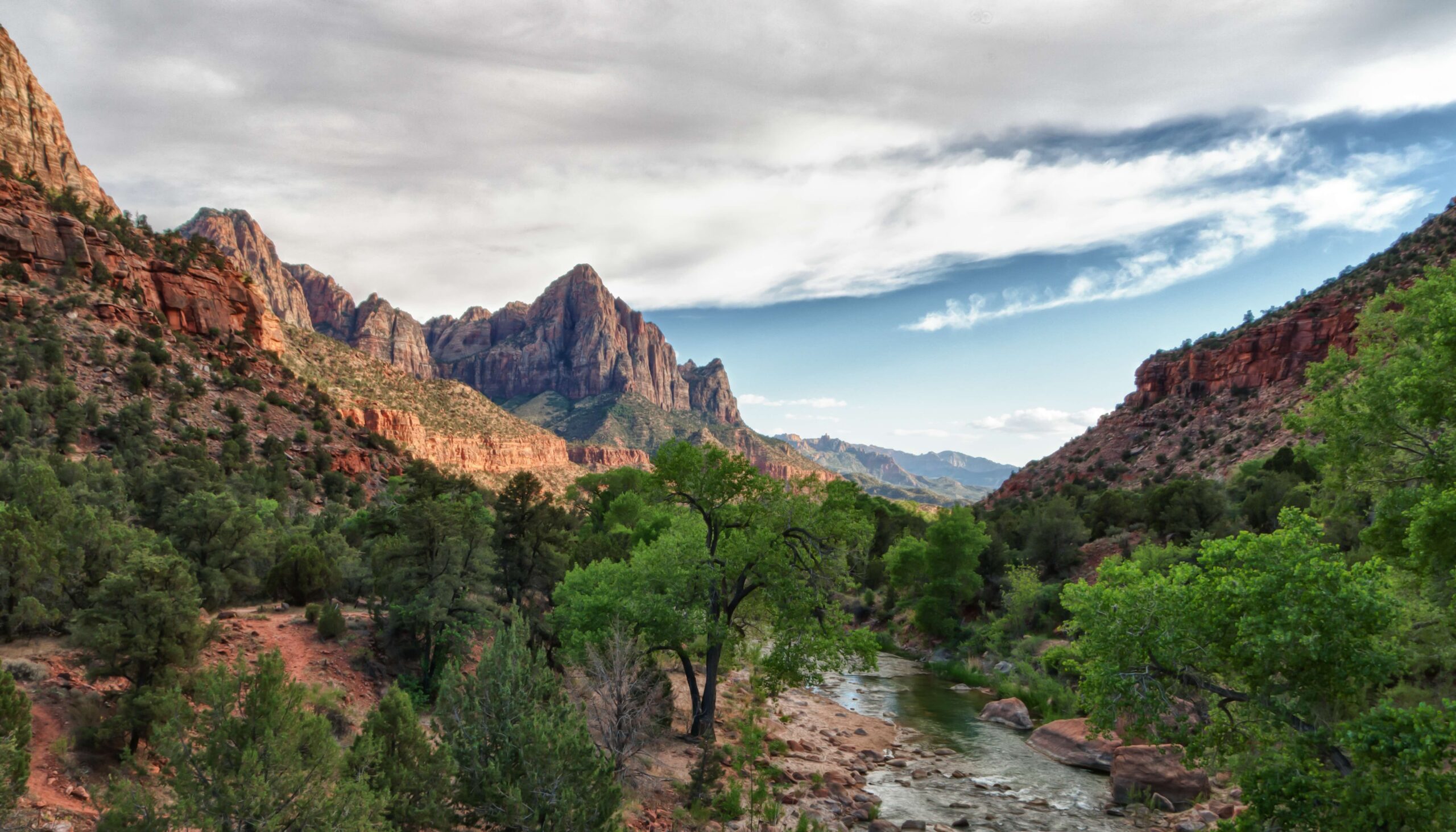

Located in southwestern Utah, near the town of Springdale, Zion National Park is one of the most beautiful places in the United States……well actually in the WORLD!
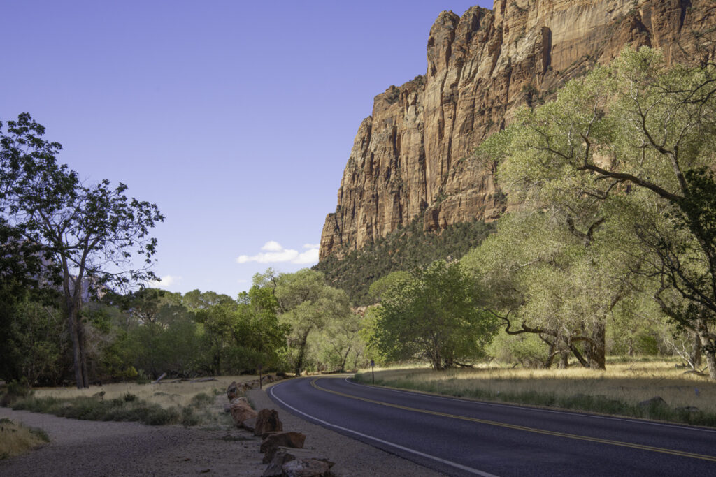
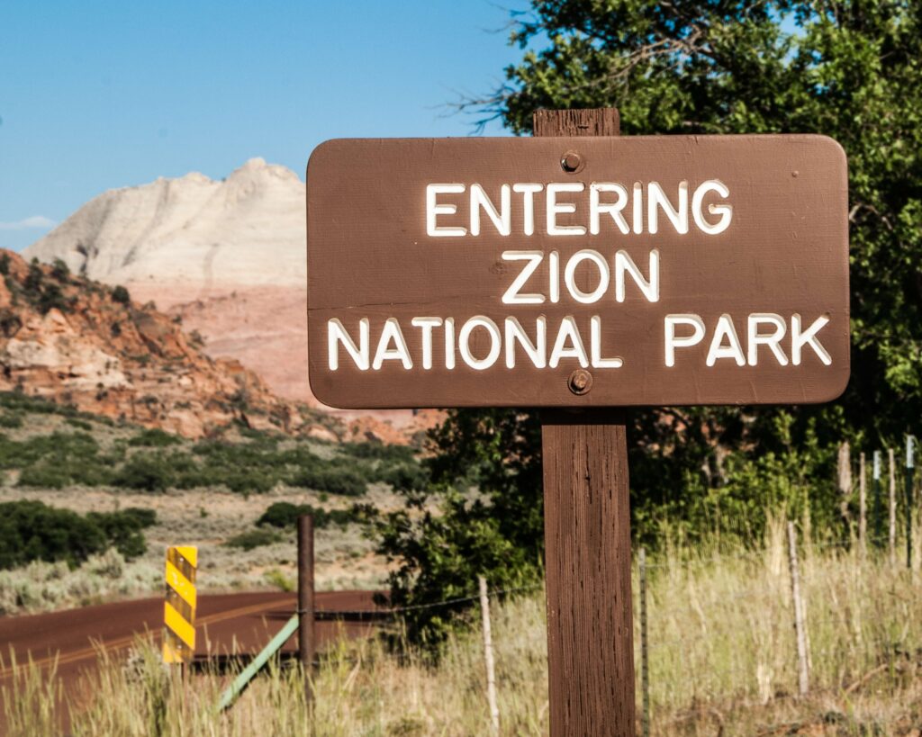
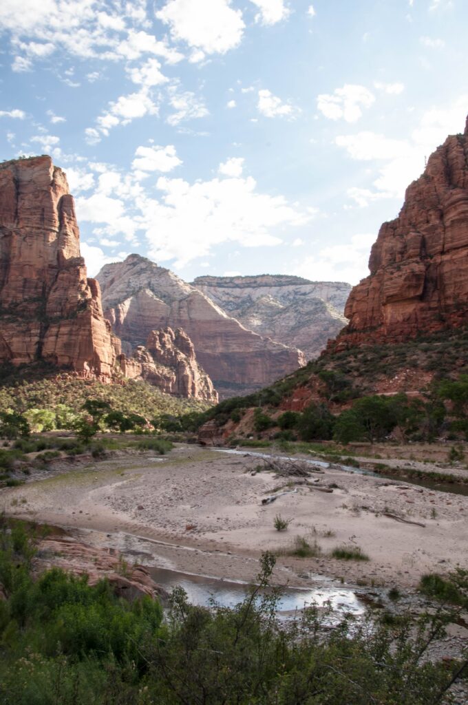
When you arrive, you are welcomed by amazing color, towering cliffs, incredible rock formations, and so much nature.
From the incredible hike up Angels Landing to hiking through the waters of The Narrows, surrounded by towering canyon walls, Zion is experience!
More than 4.5 million people visit Zion each year. The park covers approximately 232 square miles and offers more than 90 miles of hiking trails. Some of the canyon walls rise nearly 2,000 feet above the canyon floor.
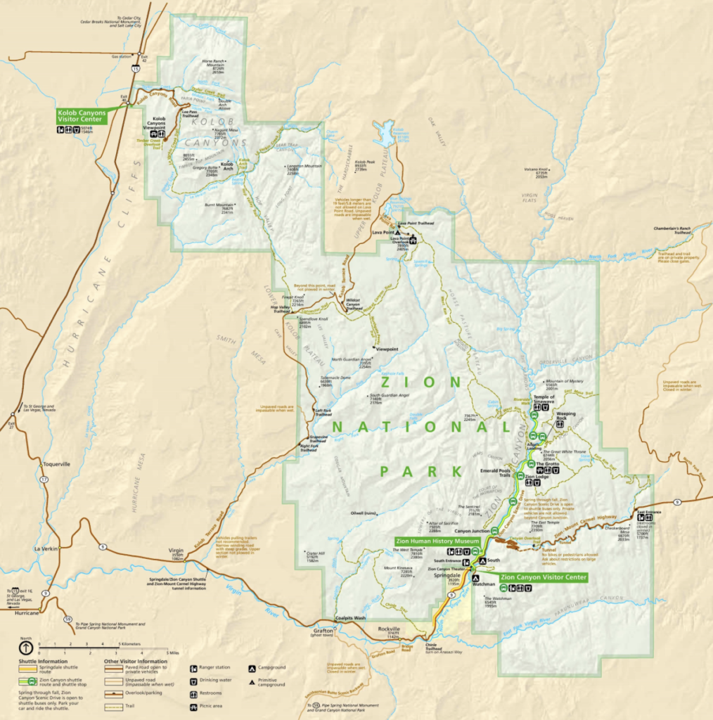
Long before settlers arrived, Native Americans inhabited this region. The Ancestral Puebloan people, (the Anasazi) lived in the area thousands of years ago. They left behind rock art and archaeological sites.
Mormon settlers from the Salt Lake Valley were among the first European Americans to establish communities in the area. They settled along the Virgin River, farming in the valley.
The name Kolob was used by early Mormon settlers for the area. In Mormon theology, Kolob is described as a heavenly place near God. The Kolob Canyons area was used for timber, livestock grazing, and mineral prospecting. Water was diverted from the Virgin River to irrigate crops.
Isaac Behunin settled in Zion Canyon in 1863. He farmed corn and tobacco and planted fruit trees. Behunin reportedly gave the canyon the name Zion, inspired by the biblical reference to a place of peace. More families soon followed.
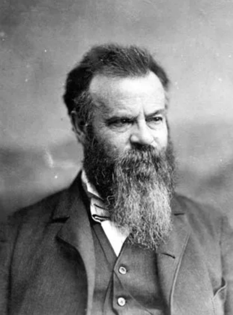
In 1872, John Wesley Powell, director of the U.S. Geological Survey, explored and documented the region. The canyon was recorded as Mukuntuweap, a name derived from Native American’s meaning “straight canyon”.

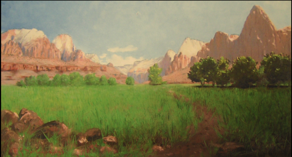
In 1903, artist and explorer Frederick S. Dellenbaugh traveled through the region and created numerous paintings of Zion Canyon. His paintings were later exhibited at the 1904 St. Louis World’s Fair, bringing national attention to Zion’s spectacular landscape.
Dellenbaugh described the massive formation at the entrance to Zion Canyon this way:
“Without a shred of disguise its transcendent form rises pre-eminent. There is almost nothing to compare to it.”
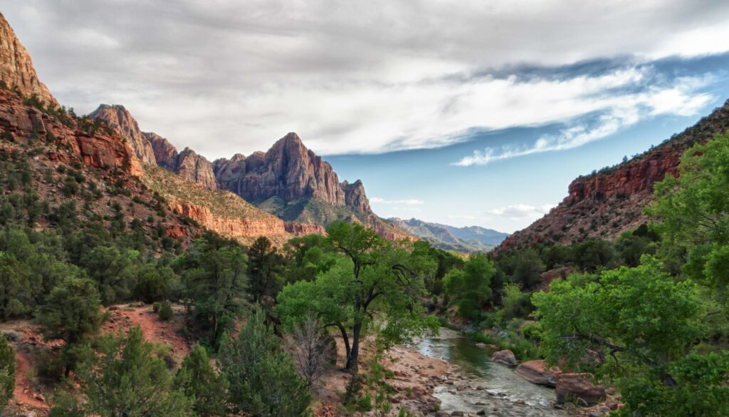
I understand exactly what he meant!
In 1909, President William Howard Taft established Mukuntuweap National Monument to protect Zion Canyon and the surrounding area. The first road into the canyon was completed in 1917. The monument was expanded and renamed Zion National Monument in 1918.
Then, in 1919, Zion officially became a National Park.
MUST-SEE PLACES IN ZION
THE NARROWS.
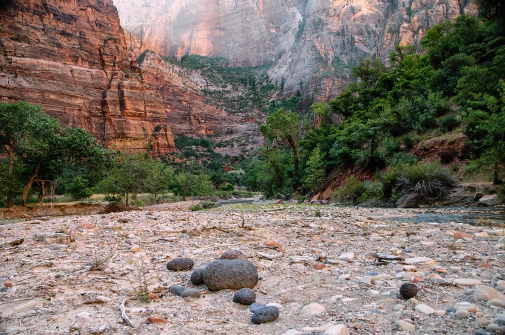
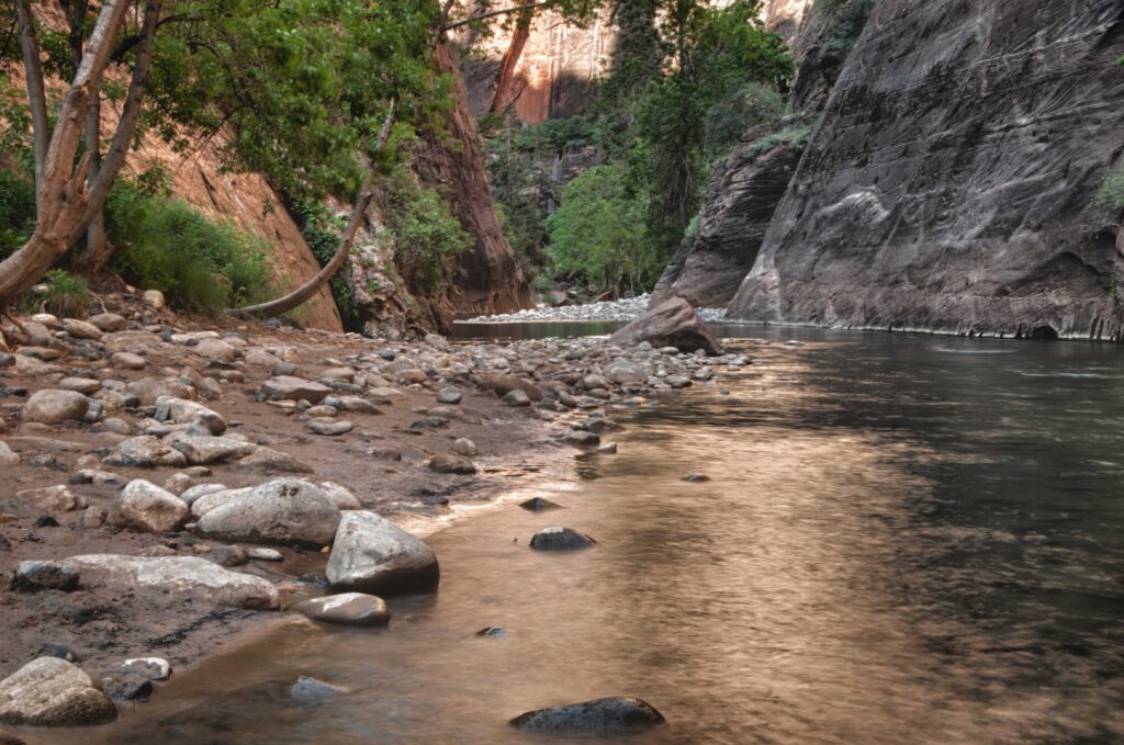
The trail starts out easy following the Riverside Walk……then the trail disappears into the Virgin River. Hikers wade — and sometimes swim — upstream through a narrow canyon while orange-red walls tower hundreds of feet overhead. The hike can be nearly 10 miles round trip, although you can turn around whenever you want.
ANGELS LANDING.
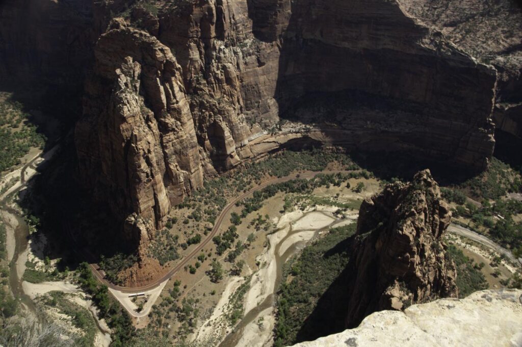
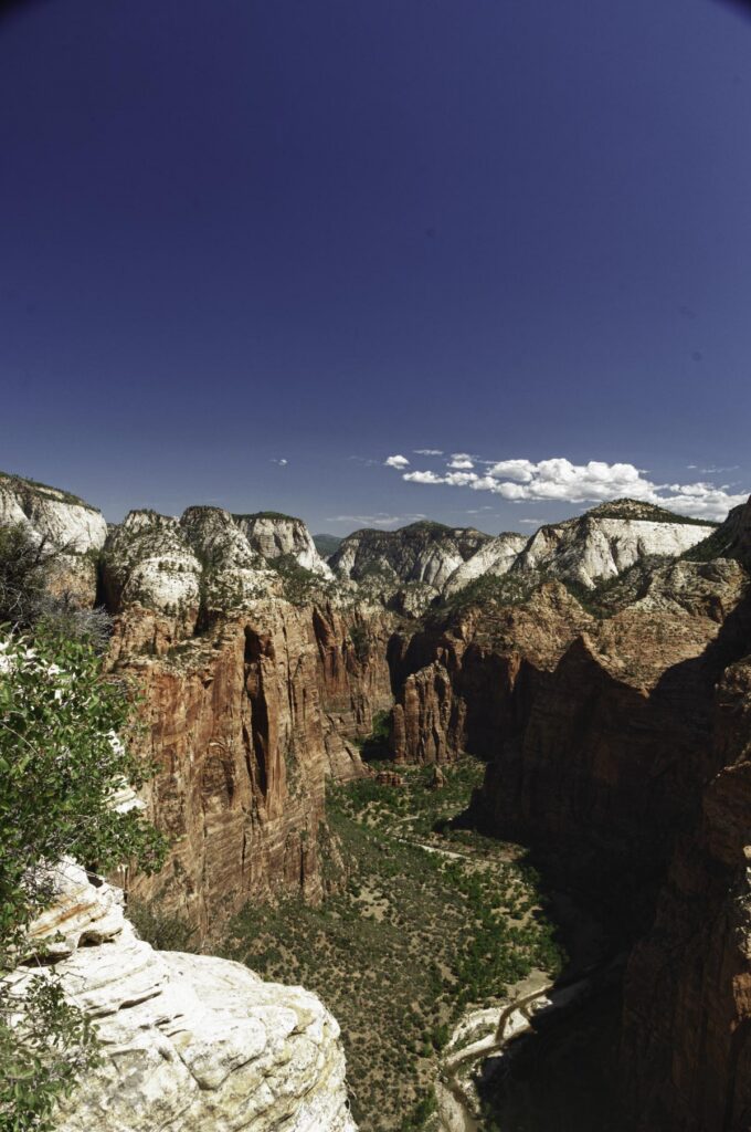
Hikers climb approximately 1,488 feet during this 5.4-mile round-trip adventure. The trail includes steep switchbacks, drop-offs, and a final section equipped with chains to help hikers navigate the narrow ridge. It is not an easy hike but the view from the top is worth it!
ZION CANYON SCENIC DRIVE.
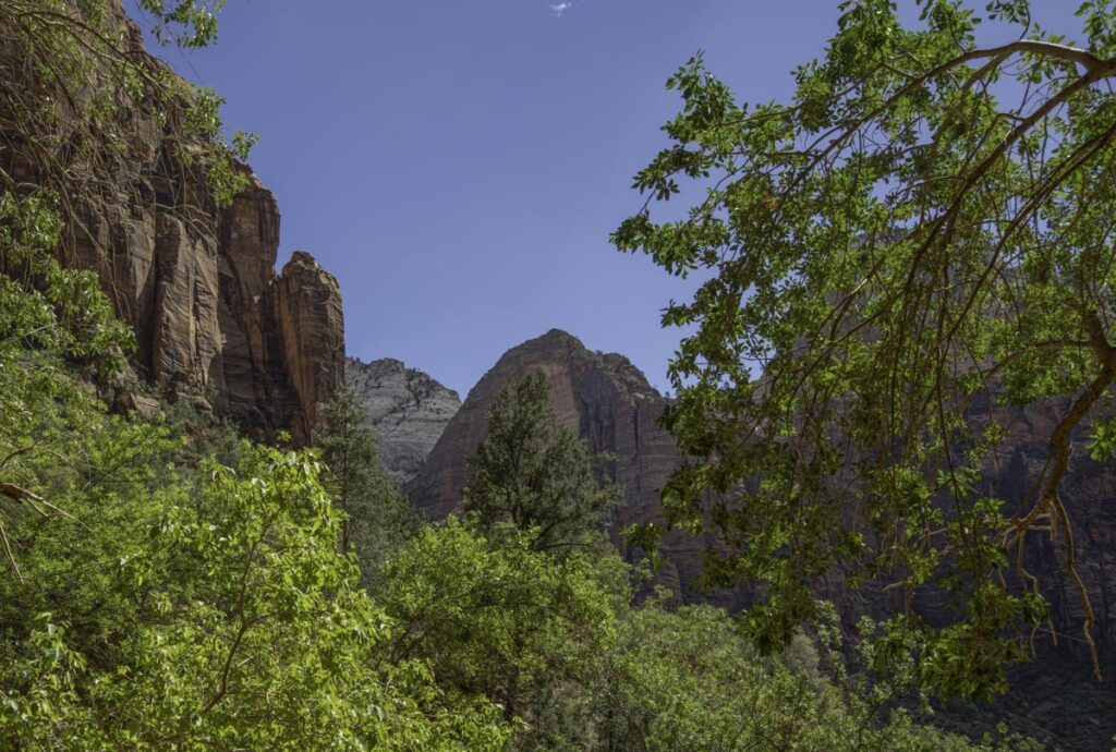
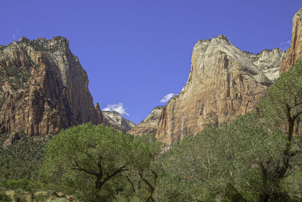
For much of the year, private vehicles are restricted on Zion Canyon Scenic Drive, so you’ll need to use the park shuttle, ride an electric bike, or walk. I would NOT advise walking the entire road!
The shuttle makes multiple stops, allowing you to get off and explore before catching another shuttle. Many of Zion’s most famous trails, including The Narrows and Angels Landing, are accessed from these stops.
CANYON OVERLOOK TRAIL.
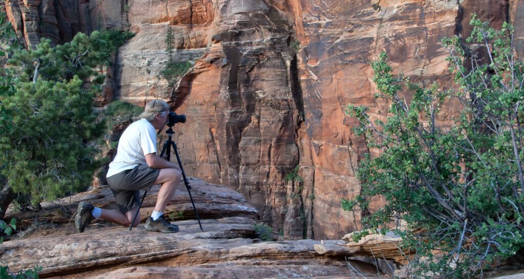
This short, approximately one-mile round-trip hike offers some MAGNIFICENT views of Zion Canyon. The overlook provides one of the best panoramic views in the park — and you might even spot one of Zion’s bighorn sheep.
ZION-MOUNT CARMEL HIGHWAY & TUNNEL.
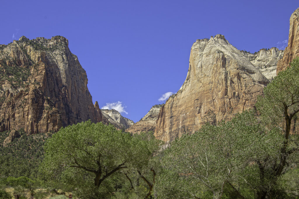
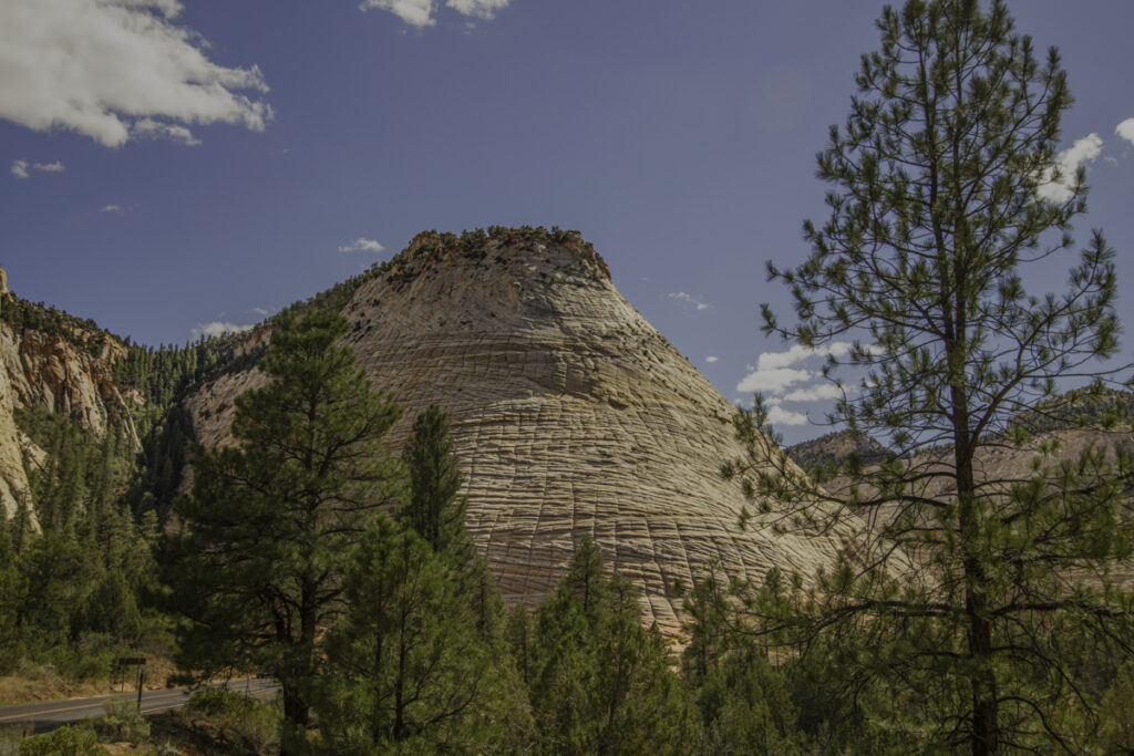
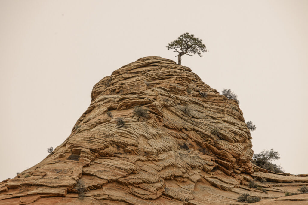
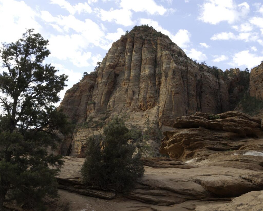
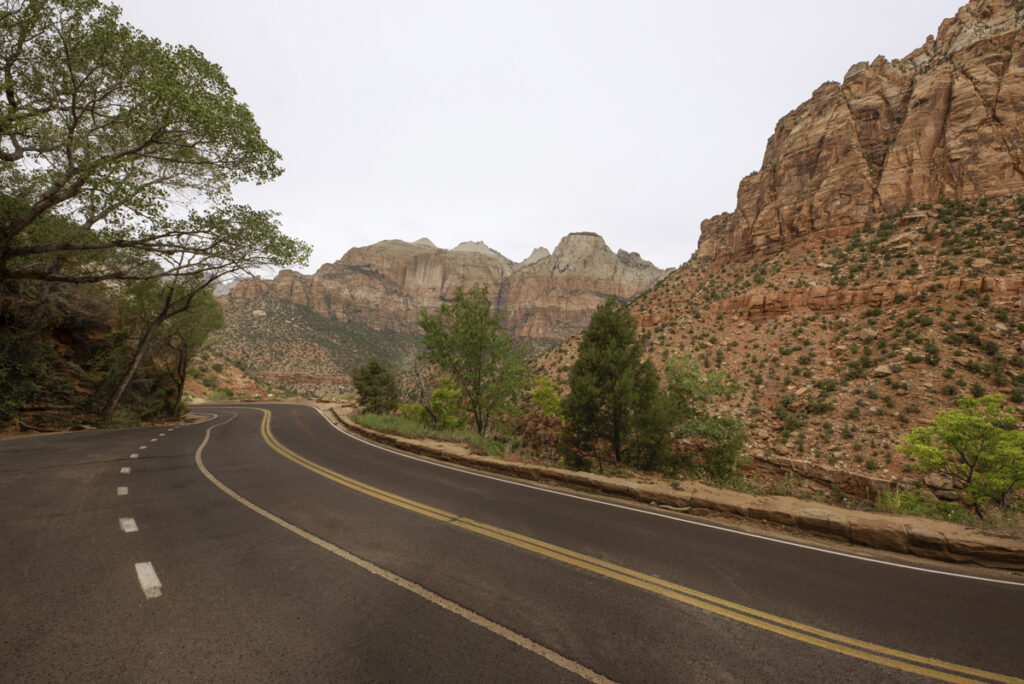
The 25-mile Zion-Mount Carmel Highway opened in 1930, providing automobile access to the eastern portion of Zion.
The Zion-Mount Carmel Tunnel is a 1.1-mile engineering marvel carved directly through the sandstone cliffs above Pine Creek Canyon. Construction began in the late 1920s, and the tunnel officially opened on July 4, 1930. At the time, it was the longest mountain tunnel in the United States. As you travel through the tunnel, you’ll notice large windows cut into the rock. They were designed to provide light and ventilation during construction. Today, they offer quick glimpses of the canyon as you drive by. The drive on both sides of the tunnel is spectacular!
Long after you’ve dusted off your boots, washed the dirt from your clothes, you’ll have something valuable: MEMORIES of towering cliffs, winding mountain roads, walking through cold river water, standing at the edge of the canyon and taking in the view.
This sounds corny but you end up not visiting Zion, you experience Zion! My advice, start planning your visit, I mean experience, TODAY
“Zion is a masterpiece painted by the hand of time.” – Unknown